 Conservation Parkland System and Greenways in Bridgewater
Today there is a vision… and a huge effort across the state to link hundreds of local open spaces through parks, natural resource areas, and important community features.
The plan satisfies a diverse set of environmental, economical,educational, and social needs by linking together municipal conservation areas and including20-miles of river corridor along the historically important Town and Taunton Rivers.
Bridgewater’s Master Plan embraces this vision by creating a Conservation Parkland System (CPS)
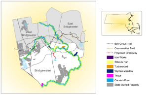
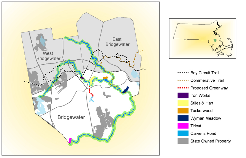
Connecting Greenways
Greenways are corridors of land and water and the natural,cultural, and recreational resources they link together. A riverfront walkway, a bicycle path, an urban walking trail connecting historical sites and neighborhood parks, a wildlife migration corridor, and a series of open spaces joined by trails are all examples of Greenways.
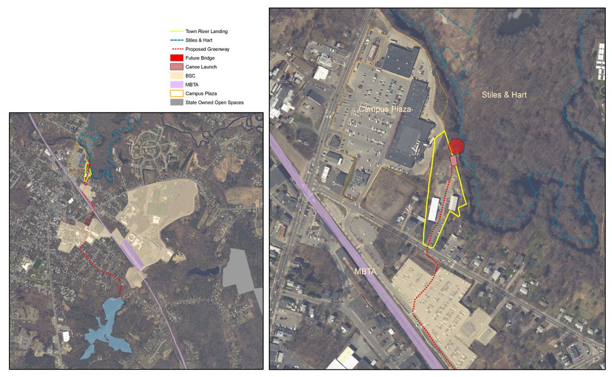
The Town River Landing
- Connects to Stiles & Hart 70-Acre Conservation Area
- Connects the business district
- Connects Bridgewater State University campus
- Connects to Carver’s Pond 35 acre conservation area
Town River Landing Partnership Committee Members
Town of Bridgewater, Bridgewater State College Office of College and Community Partnerships, Natural ResourcesTrust of Bridgewater, Bridgewater Parkland Stewardship Council, Bridgewater Improvement Association, Taunton River Wild & Scenic Stewardship Council, National Park Service River’s and Trails Conservation Assistance Program.
Maps produced by Christopher St. Andre and Darcy Boellstorff of Bridgewater State College. Project Coordinator Kitty Doherty. Data used in the process were acquired from The Office of Geographic and Environmental Information (MassGIS), Commonwealth of Massachusetts Executive Office of Energy Environmental Affairs (Spring 2008).